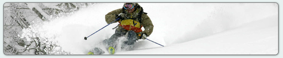

Tully scoops into a narrow chute near Nozawa Onsen on Wednesday.
Base at top: 360 cm
Temp at Top: -9 Degree
Base at Uenotaira station: 280 cm
New snow since close: 20-30 cm
Weather: Light Snow
Heavy snow just keeps on falling here in Nozawa Onsen. After a pause in the falls yesterday evening, where we saw clear blue skies and a quality sunset, snowfalls have ramped up again overnight. Today we expect conditions to be much the same as yesterday, albeit with greater chance of good visibility later. Areas exposed to strong NW winds overnight will be wind scoured with a slight layer of irregular powder. The opposite faces will have deeper snow with very high avalanche danger off piste. Not worth the risk until the snow consolidates. The Challenge and Yamabiko area will likely offer the nicest turns for powder skiing and boarding.
Yesterday we saw strong snowfalls continue for much of the day adding 30cm to the growing base depth. Luckily the winds were not as strong as the night before, keeping lifts operating and powder hounds frothing. Despite recording 30cm of fresh the snow felt much deeper in deposition aspects, blown about by the powerful winds. In areas that were wind scoured, namely the NW aspects, the irregular icy base underneath was more than noticeable. All in all, another good day of skiing to add to the tally for 2017.
According to the forecast model runs we are due for some clear weather and good visibility. This will occur tomorrow morning in combination will cool temperatures. Sunday will be much warmer and the worst day for skiing in the next week ahead. But by Monday a prolonged cold NW flow will reestablish itself over the region resulting in heavy falls of snow. The greatest precipitation rates look to occur around Monday night and snowfalls will gradually ease into Wednesday.


{ 0 comments… add one now }