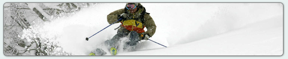

Spring season powder
Base at top: 375 cm
Temp at Top: -4 Degree
Base at Uenotaira station: 290 cm
New snow since close: 0 cm
Weather: Clear
What a morning! The sun is shining and there is still plentiful fresh snow on offer from yesterdays falls. But its best to hit it early as the sun is expected to make a strong impact by the afternoon, rapidly warming the atmosphere. The northern aspects will offer the best quality today in addition with the Yamabiko area. Skyline might be worth a look for a sustained thigh burning descent. During the afternoon the slopes will become slushier and it’ll be best on piste. Don’t forget the camera todays as the views will be awesome.
Yesterday we saw light snow showers continue during the morning adding another 8cm to the base. By midday the clouds were beginning to clear and we experienced a partly cloudy afternoon topped off with a nice sunset. The snow wasn’t the classic powder we are used to but it was still good, just a bit heavier and wetter than normal. Off piste stability was extremely low with numerous wet slab avalanches on all aspects.
According to the forecast it’ll be clear again tomorrow morning before some clouds move over later in the afternoon. The temperatures will be a touch warmer than today as warm air flows in from the south. Further ahead and next week is shaping up very well with a sustained run of snowfalls and cold temperatures. Snow will fall from Monday until Thursday or Friday with the heaviest falls occurring at the start of the week. Over this time the winds will be generally light from the west to north west.


{ 0 comments… add one now }